Exploring Life

Geocaching, geocoins and the many roads of life.

This is made up of stories from my caching and my reviewing.  It is a collection of those along with comments and thoughts.  Photos, and maps of some adventures and lists of some of the oldest caches.

Filtering by Tag: Earthcaches

How To Create A Memorable Earthcache, And Get It Published

In the beginning….

Creating an Earthcache can be daunting, and frustrating. A few seem to fly to publication quickly, while other drag along for months. I know of one that it a year old that is still in the process of getting listed, but I will toss more light on that in a bit. It can be incredibly rewarding, I get lots of photos, favorite points, and thanks from visitors from around the world that come to visit my Earthcaches. Yet the creation can be a hair pulling experience. I thought I would go over a few things step by step, and touch on what I see work, and what fails.

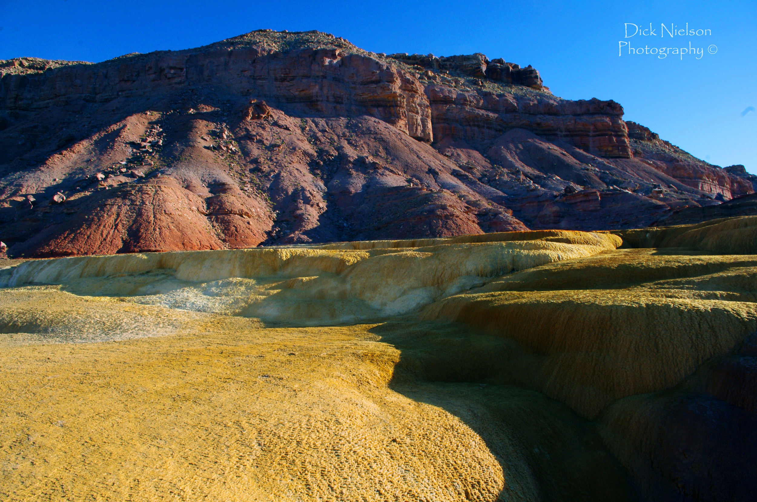
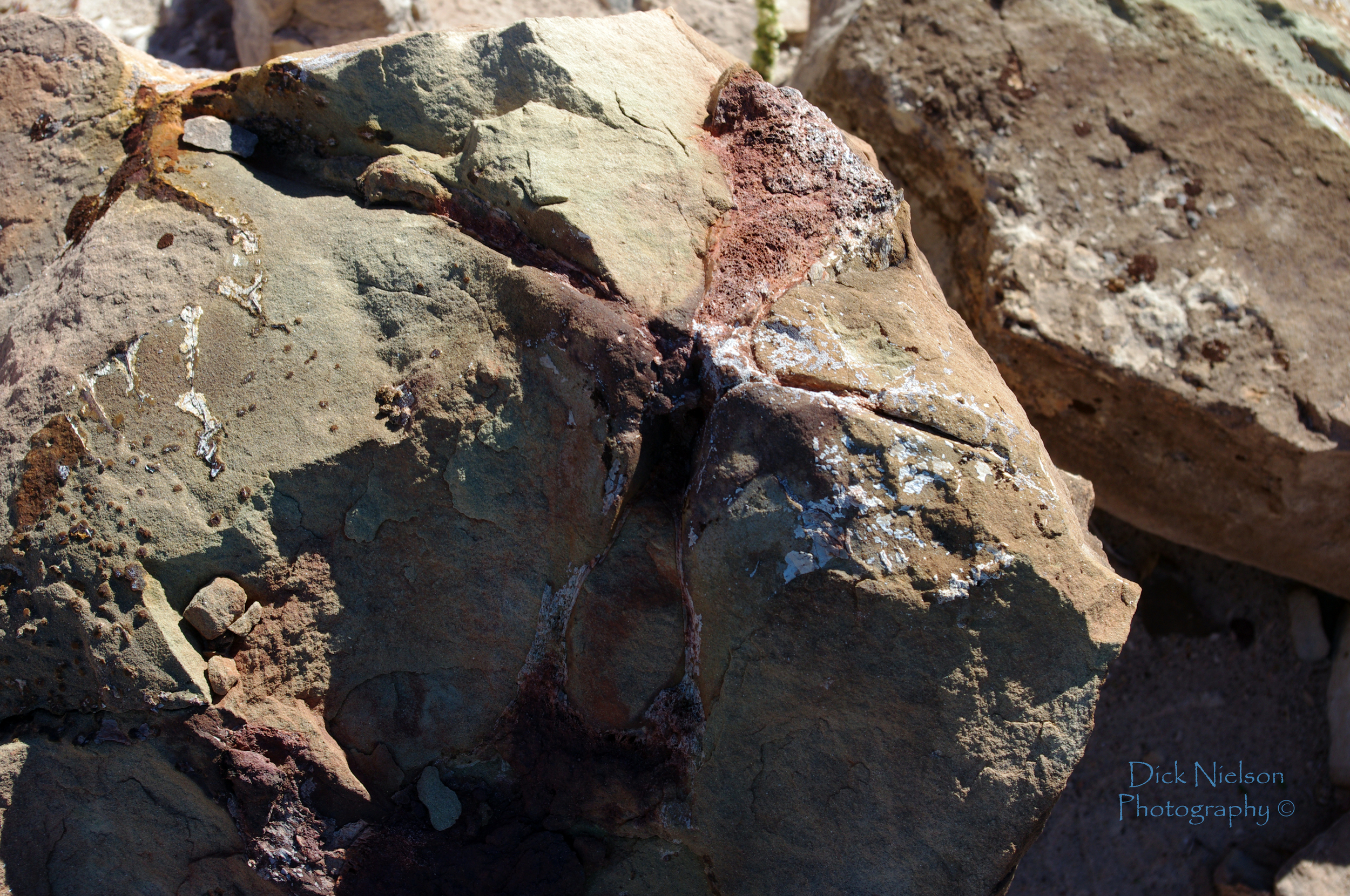
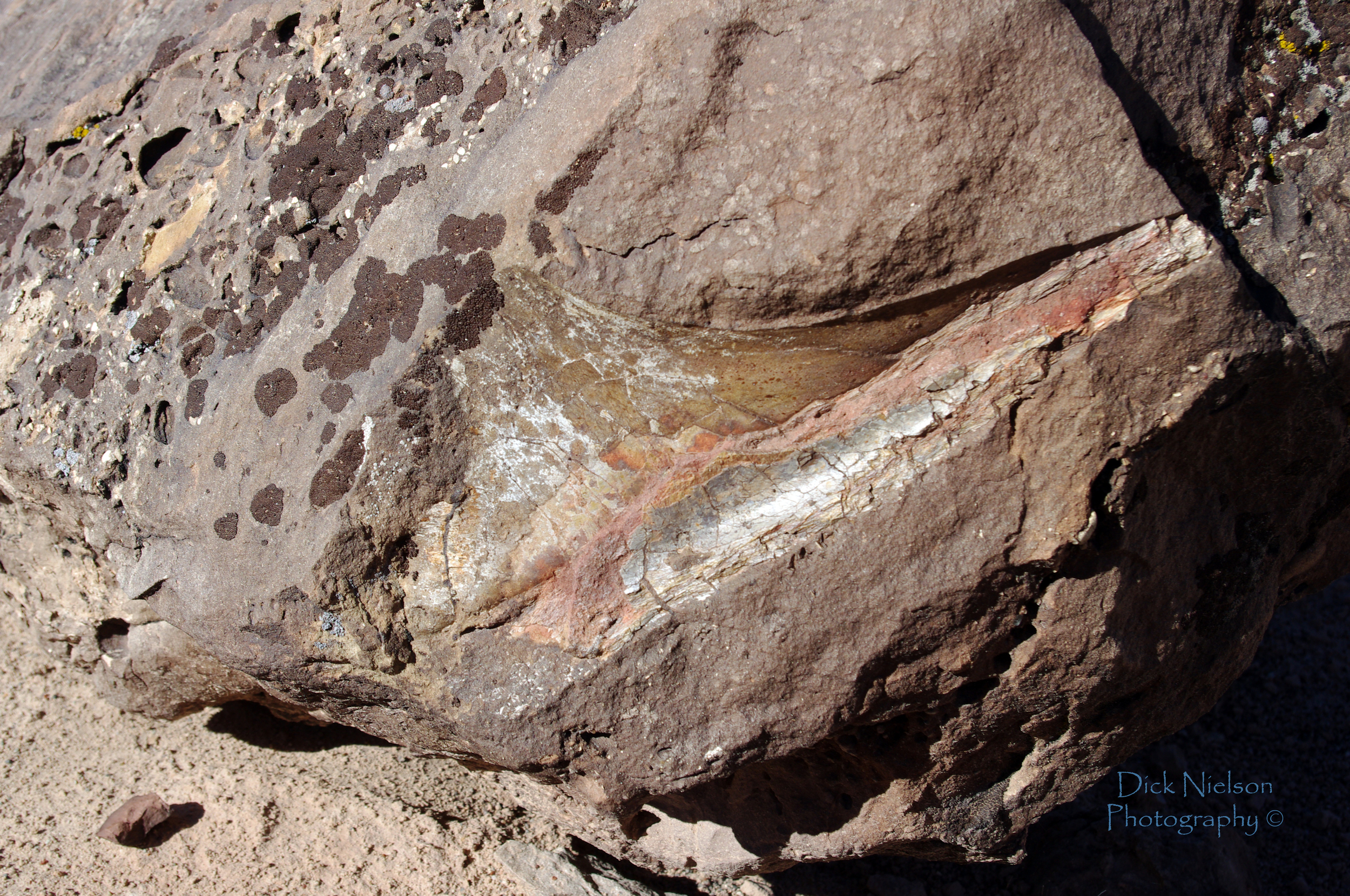
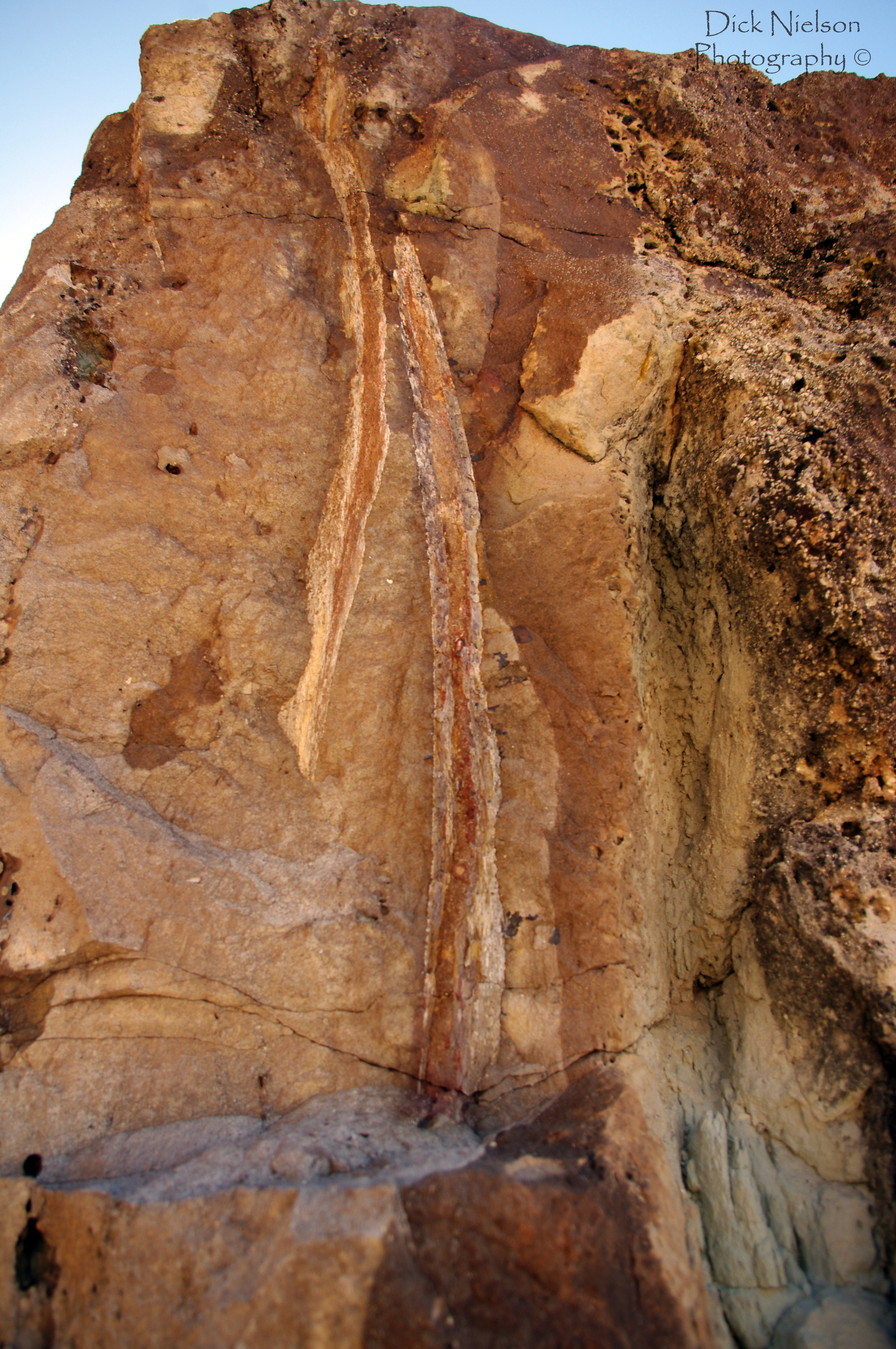
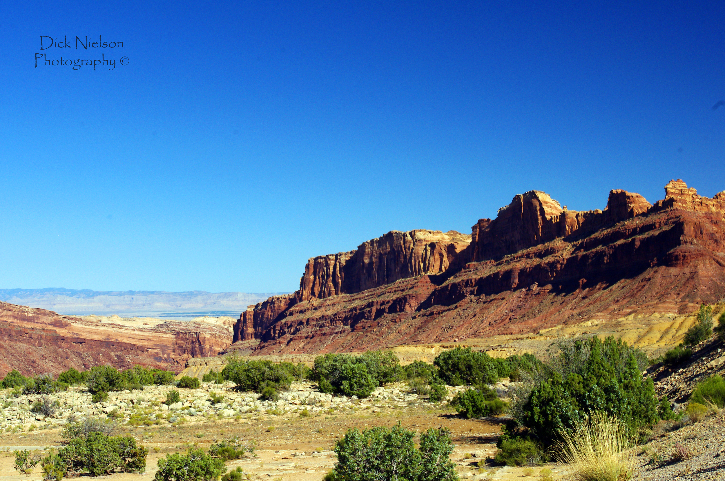
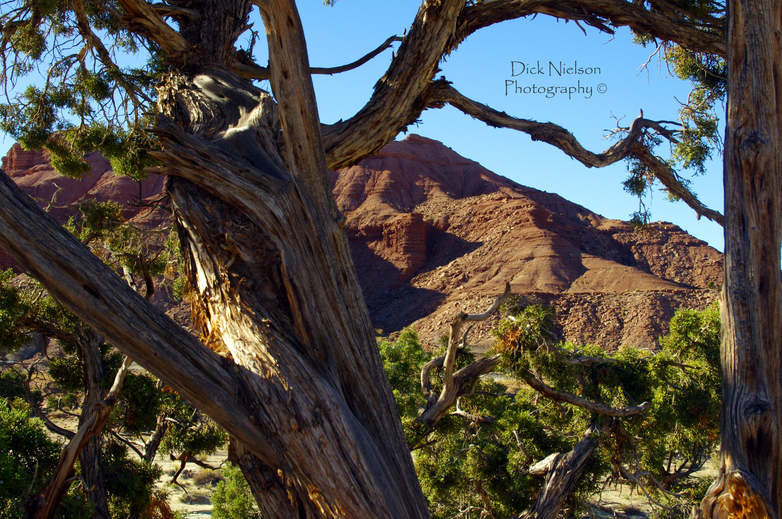
1 - Something Unique - Something Geological

First take the time for find something unique, and something that you would like to highlight. It is a very good idea to have it something that you know about, or can find more information about. remember to focus on the geology, not the history. I have sometimes found unique locations but have no idea about the geology I am trying to highlight. So I start my research with what I know and see.

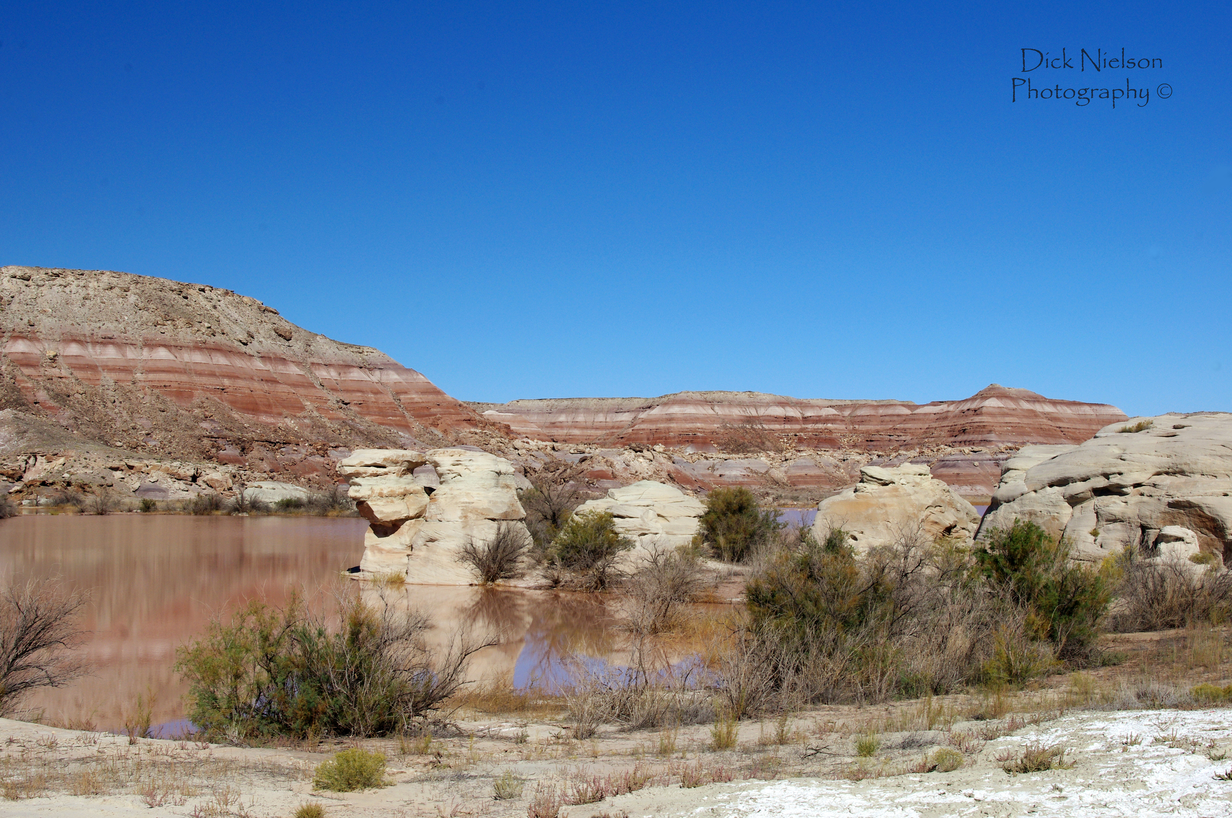
Often people forget about looking at other Earthcaches around them. For example I find a great location about a geyser, and that would make a fantastic Earthcache. There does not appear to be another one within a kilometer. So I trudge ahead and toss something together. Yet, I am in Yellowstone National Park in the USA. There are a dozen Earthcaches on geysers within a a half hours drive. Remember that proximity for Earthcaches are different than standard cache types. We look to see if a similar one is nearby.

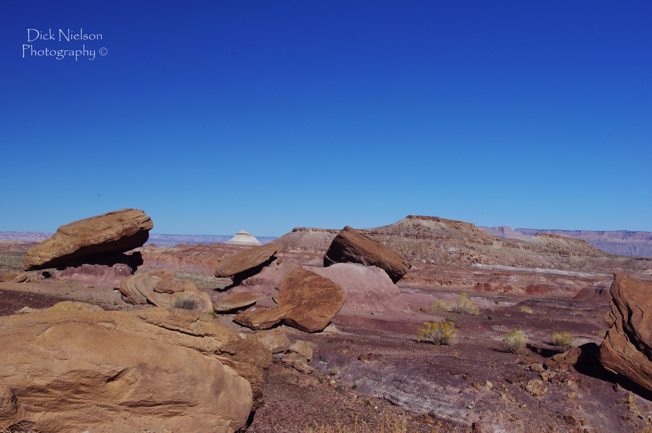
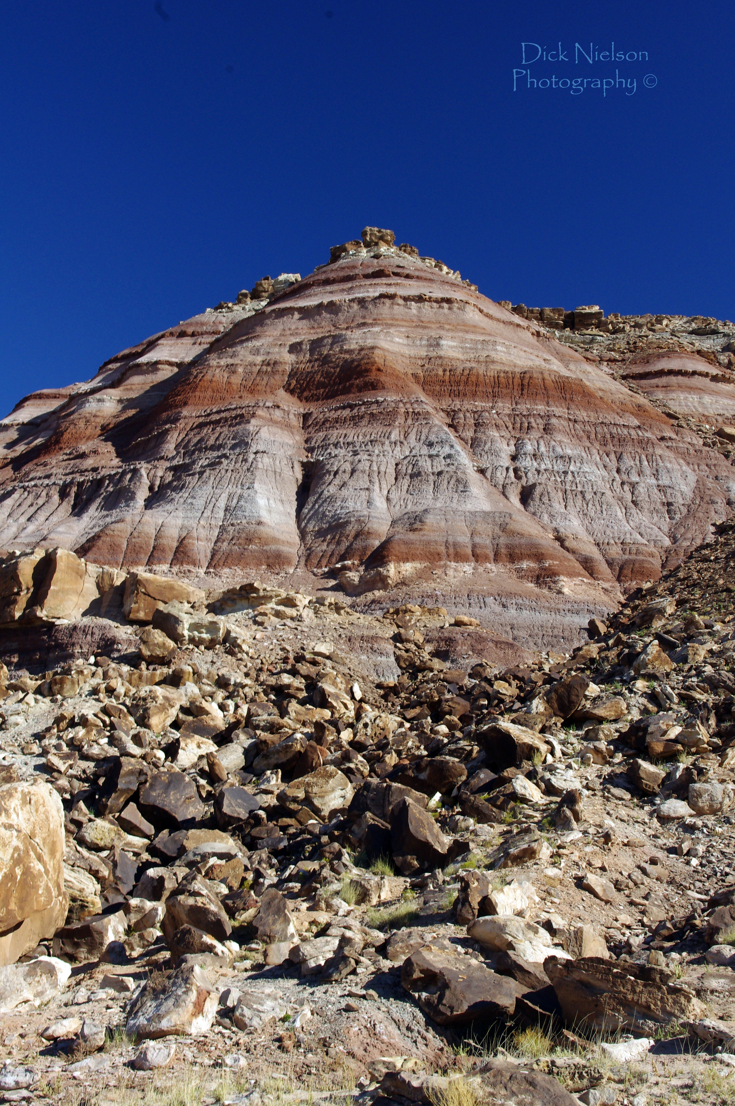
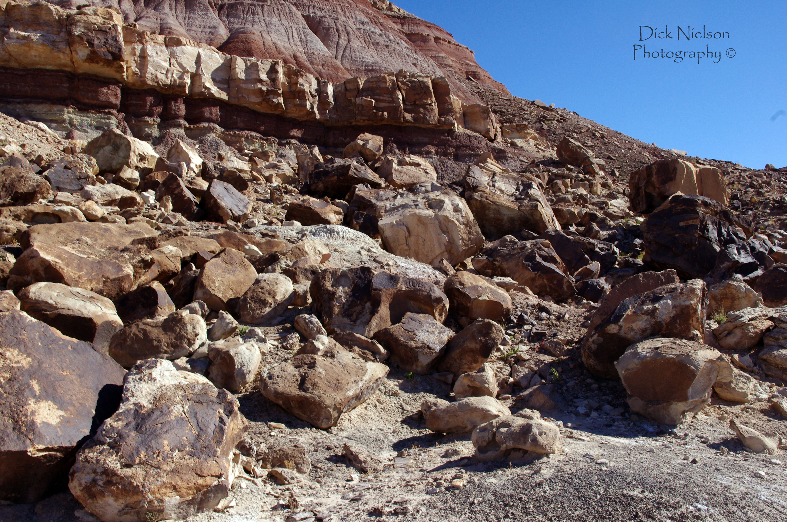
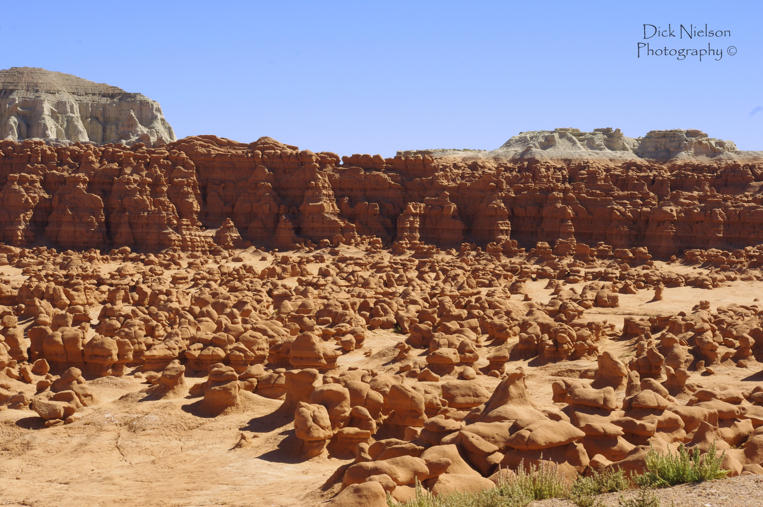
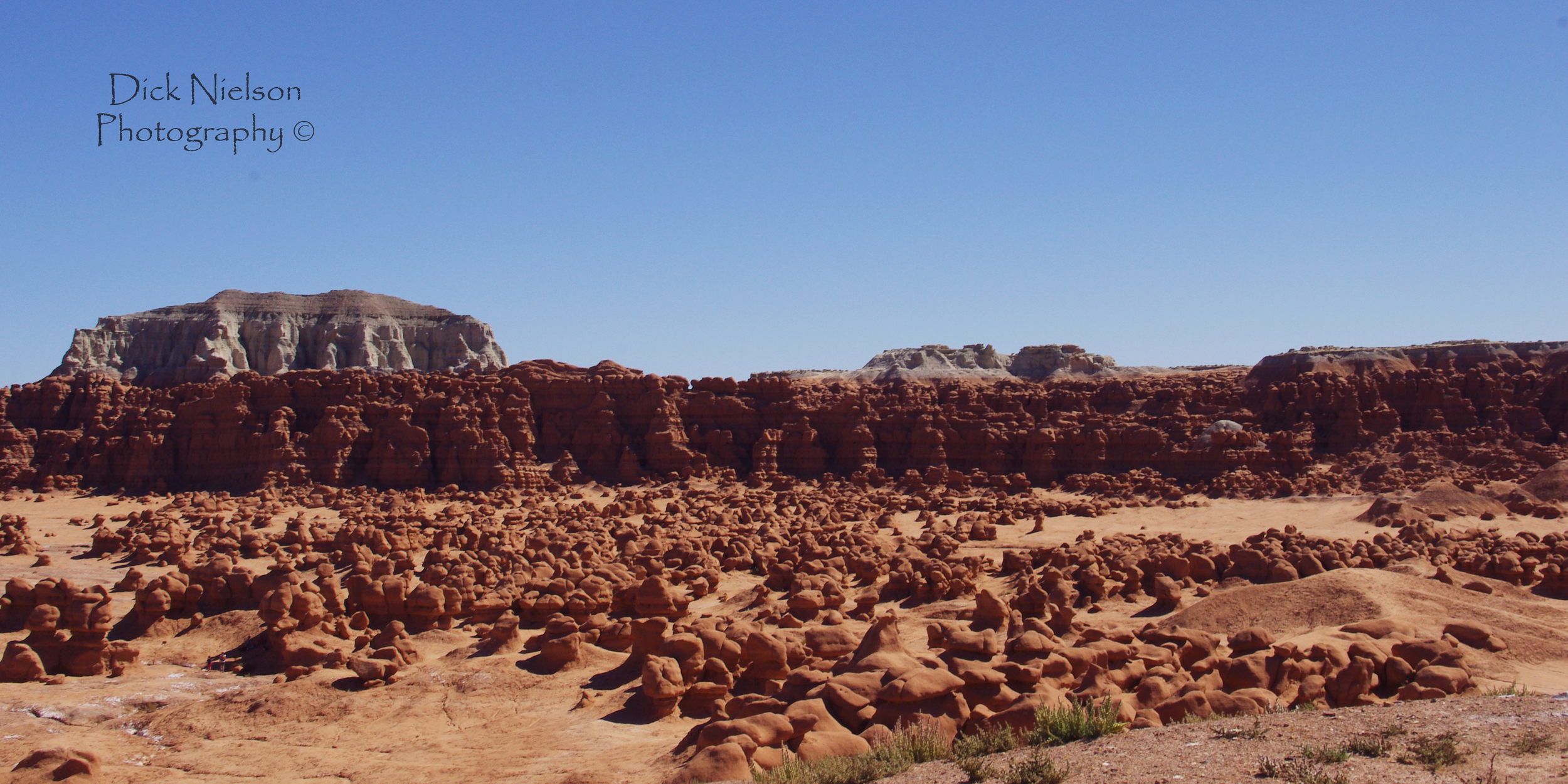
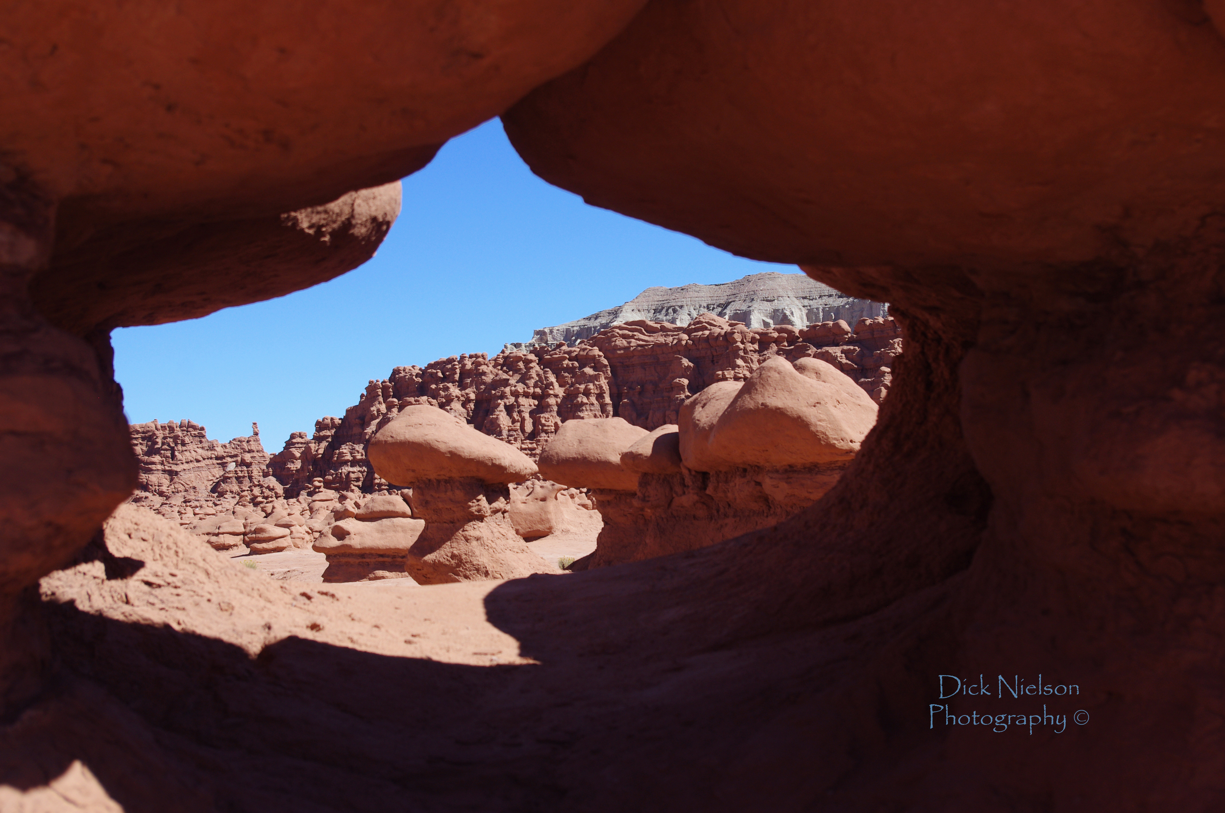
Sometimes we also think of the big picture. You know the big mountain, or the big river. We also see a number of great Earthcaches that highlight the very small. A particular vein in a stone outcropping, or seeing the small fossils can be as enlightening as a giant feature. Those working on larger visions are going to have far more problems. I can see a picture of the area on Google streetview, how do you not just get the answers without visiting. Often the mountain, or looking to the large valley is going to be harder than the smaller unique item.

red rock.jpg

2 - Permission

After I have an idea, I jump to getting permission. The rules governing this varies from area to area, and from country to country. So contact your reviewer. In the USA, generally you will be asked for permission from the land manager if you leave a highway. Walking trails, backcountry areas, wilderness, city parks, may all need permission. So plan on that.

I have had, and seen, a number of caches denied over the years. A few were in locations that had obsidian, or gems. Though rockhounders go there regularly to gather, the land managers did not want to highlight the locations and have denied permission. Another feature was asked to be removed because it was getting too much traffic. Land managers wanted to control it a little more. Even though it is a popular tourist site. So don’t assumer permission.

A special note on the National parks. “These locations are loved to death by visitors.” That is how a park ranger described it to me. If you want to put one out in a National Park in the USA you will need permission. Include the reviewer in the emails, and/or give him a copy with all the permissions. Those land managers want to make sure that educational material is correct, and that they are not in a location that may cause extra traffic or damage.

Often when approaching a land manager I will pull up nearby Earthcaches. I will share with them my ideas, cache content, location, and ask them for input. I see how many visitors nearby Earthcaches get in a year, then let them know what that number is. Usually I see 10-15 visitors a year at my Earthcache locations. That number can make them feel better. Sometimes they fear social media, It highlights locations, then hundreds of people are drawn to a site to a site that they do not have a management plan for.

3 - The Information Hunt and Selection

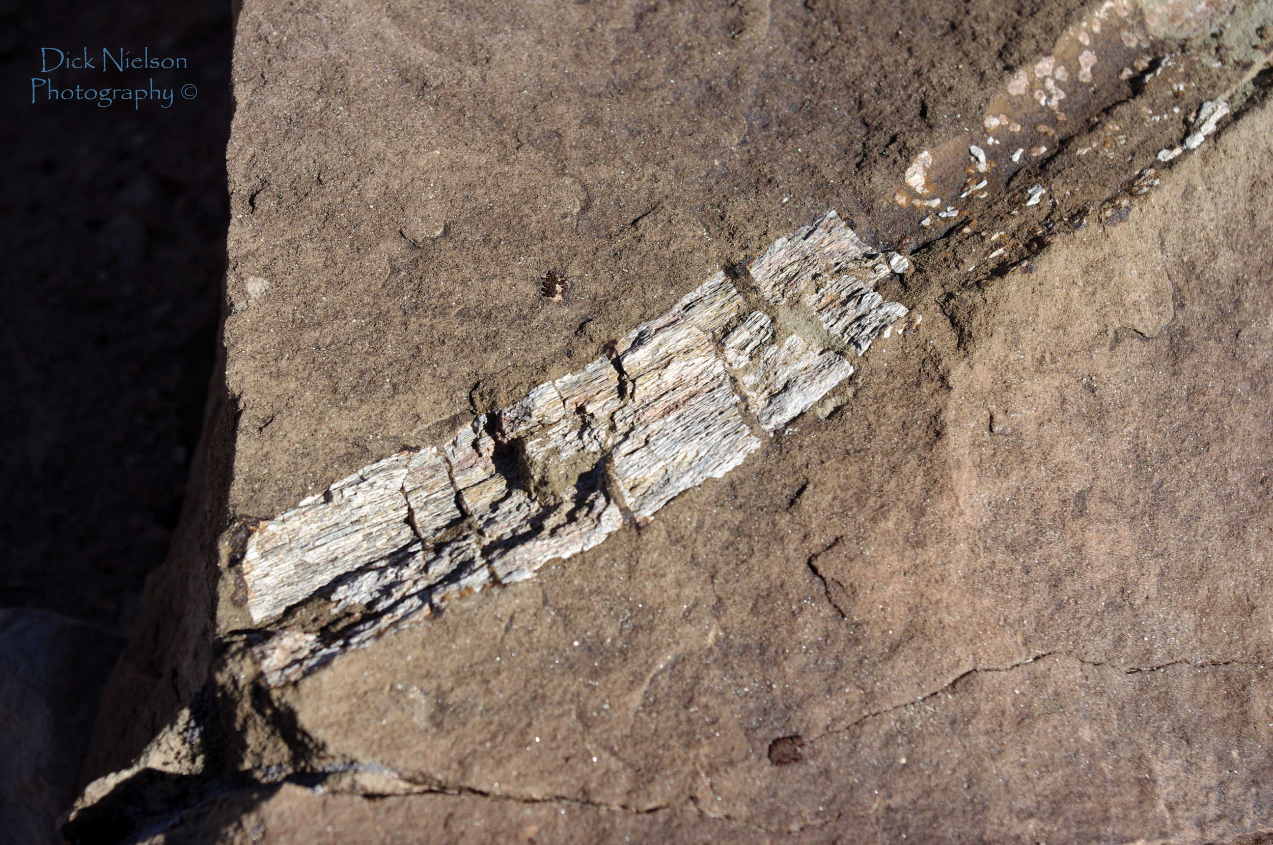
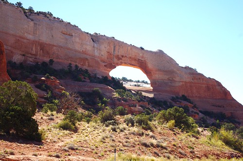
There are many books, websites, and people that can help you out. take advantage of what you can. Usually I end up with a pile of information on some caches. On a cache I did on a natural arch I had many options. I gathered info on how arches form, the different types, the sandstone that makes up different layers in the arch, how it eroded, what it may have looked like in years past, rates of erosion, how hard/soft some of the sandstones are.

All of this information I gather and look at. Sometimes I do not have much information, or at least I do not have much information on topics that I know much about. So if i cannot gather more info, I sit down and think what makes the best teaching experience at the site.

I also try to focus on one thing. Don’t turn this into a masters thesis on the creation, evolution, erosion, mass wasting, faulting, and future prospects of the location. Select one thing. Simpler is better. Educate on that one thing.

teton1.jpg

4 -Writing it all up

I usually start with my questions. I put them at the top. Often they are not very good at this point, however I get them written out. They are my goal. What I need to educate to get it published. If my tasks are on identifying granite, I could write on how granite resists weathering, but why? It is not part of my questions. I will sometimes make a note of an alternate question if one does not work, but mostly I go with it. I can focus my write up on what is between my goalposts, There may be a ton of neat history, or other geology, but the biggest complaint I hear about Earthcaches is that some are school reports 20,000 words long.

Keep it simple. Remember this is not your college geology term paper. Try and explain it to a 13 year old. Enough that they understand, but you do not need to get into particle physics (usually, unless that is what you are doing it on). Also if you focus on the history, your reviewer will roll their eyes. History is not part of the Earthcache program.

  • Make you think

  • Asks open ended questions. Why do you think…. How did this stone…. Is the wear even across…..

  • Is focused on one subject.

Bad logging tasks

  • Asks elevation, names, direction, or something else I can just get off a map

  • Asks a pointless counting question. like How many boulders are here?

  • Words off sign. The lake is _______ years old.

  • Bounce between different subjects.

5 - Review your logging tasks one more time.

Then i look through my logging tasks again. One last time to make sure I am not missing anything. Try and think how others will react when they read these. If you make them too complicated they might chase people away. However they should not be solvable without visiting the site.

A thought on photos. The Earthcache reviewers now let you place a photograph if the logging tasks are good. It is only there to prevent cheaters. So you still must have the logging tasks that are good without the photo. I have added a photo on some of my most heavily visited Earthcache because a few people have shared the answers. This lets me proove that they were actually there, instead of combing through their find history.

6 - Sit Back and Breath.

Stop for a moment and walk away. Come back the next day and look at it.

  1. Do you have permission

  2. Do your logging tasks focus on geology and something unique

  3. Can I answer the questions without visiting the site. This can be a killer. Is the entire cache answerable from google streetview? or sometimes people give the answers in the cache page.

  4. Did I attribute science info on my page

Then… hit the submit button.

Springtime = Earthcache time.

Yep it is that time again.   Spring is here, and it is time to get going. I was thinking it was time for me to give advice on getting an Earthcache published.  I am surprised as I see there appears to be a number of people that just seem to struggle.  Some sail through the process and others get bogged down in minutia  They fall in a few categories.  

GC5H550 Fin Erosion, Photo by geogriefer from geocaching website

GC5H550 Fin Erosion, Photo by geogriefer from geocaching website

The Historically Interesting

Remember Earthcaching is about the geologic world around you. It is not about the building, dam, fort, city hall, or the history of the ancient people that lived there.  We are trying to teach about Geology Yes I know it is a little wider that just the science of geology, I will cover that in a minute.  Unless I loose track and start rambling, which happens often. 

As much as the building of the dam, the people it displaced, and the history may be interesting it cannot be the primary focus of the cache.  If part of your Earthcache is on topic we may ask you to remove it.  Some fight tooth and nail to keep it in, but it can't be the primary focus. 

I can go here so no permission is needed

Wow this has been a huge fallacy for some time. This is primarily for the US Earthcaches.  Differences in laws and land manager policies give other locations different opinions.  Recently I asked the other US reviewers.  Everyone was pretty much on the same page.  You need permission, there can be some leeway for a road pullout, but if you place off road you will be asked for permission. 

I have good relations as a reviewer for Earthcaches with many National Park Service, BLM, state parks and other agencies.  I regularly get emails from a few of them. I have taken the time when traveling to greet them if they were in their offices.  They are good people doing their job.  If you want to make them mad, publish and lie about permission.  That works for me as well.  I have had a few people that apparently lied to me.  I have contacted the email given and was told they never asked.  On the flip side, a manager from Zion National park contacted me, upset they had not given permission, and was thinking about having a number archived.  We pulled records with names and he left happy, after a good discourse.  So mistakes do happen. 

In another instance a cacher said there was no need for permission and pointed me to the BLM webpage.  At the bottom is stated "please contact the BLM office to make sure the location is appropriate.  I have had, and seen,  a number turned down.  For a number of reasons

  1. Area is closed.  Though no signage exists, it is a closed area. 
  2. People were gathering the material to be seen (archaeological, fossils, obsidian, etc) and they did not want to advertise. 
  3. A permit was needed, and contact with the managing agency.  They wanted to make sure the site was not advertised.  
  4. Dangerous location. 
  5. Plants/animals were considered endangered. 

In the end take the time.  They can be a help to you as well. 

Take a photo

Yep, not allowed.  Since about 2011 a photo requirement is optional.  It was not grandfathered.  I hear that a lot.  I have let a few cache owners know.  Log disputes are up to someone else, HQ and the Geological Society, however if the requirements do not meet the guidelines I will go back and address it with the cache owner. 

The terrible logging task

I will point to this in the Help Center

An EarthCache teaches an earth science lesson. The cache page must include logging tasks that help teach the same lesson. Remember that the EarthCache is based on the world around us, not on an informational sign at the EarthCache site. Geocachers must complete the tasks before they log the EarthCache as found.

What are good tasks?  Tasks that ask people to interpret what they see.  How did this form this way? I have one where people try to burn a piece of oil shale, I ask them what they see and learn.  Others ask people to describe the formation, and why it formed like that. 

What are bad tasks? Eleveation, measure the width of the river, or depth. Find a word on a sign, give me a diameter of the boulder.  Remember we are here to teach. 

Clastic Pebbele Dikes, photo by oxsling

Clastic Pebbele Dikes, photo by oxsling

The wrong earth science

Earth science is pretty broad.  For the sake of the Geological Society of America, it means the hard earth, the physical part of our planet.  Geology and its related fields. 

I know it is sad.  I have proposed a few times to people at Groundspeak to create a BioCache or something similar, however until then, we are stuck with using the GSA options. 

What is not ok?  Biology, ecology, geodesy, archaeology, oceonography, zoology.....  I think you get the point. 

Wayyyy to many

Once and a while something spreads.  Bob places an Earthcache, and everyone copies it.   You see a mirror of it all over.  So many are limited.   We can also see a time when things just are too problematic, they are not bad ideas, but really they are not doable. So what are these?

  • Springs, 
  • Building and decorative stones. 
  • river confluences
  • waterfalls 
  • artesian wells
  • glacial erratics
  • river gaging stations

Now an area may be saturated.  Yellowstone is buried with caches on geysers.  If there is nothing new to be taught, you may not be allowed to list a cache.  Every reviewer will have his limits on how close you can have a cache to a similar one. 

GC5FM6F, photo by utahsnowflake

GC5FM6F, photo by utahsnowflake

What can I do?

Well first, remember it can be a long haul.  I have had a few I have worked on for years.  I need a bit more info.  Many people take a few weeks to a few months to get it listed.  I am always impressed with the people that do it on the first try.  So do not be discouraged.  Don't try and overwhelm the visitor either. This is not a doctorate thesis on geology.  Pretend you are teaching a Jr High student. 

Remember to take it a step at a time. 

  1. Do I meet the focus of the Earthcache program
  2. Do I have the science to teach?
  3. Do I have logging tasks that use what I teach?
  4. Do I have permission?

Done.  See how easy?  Ok it is not that easy, but you know what I mean.  Take it in steps.

Geysers, Goblins, and Bones

This was my favorite day of the trip.  Because we were going to see something new, something a little different and off the beaten path.  We dragged our way out of bed and started the day.  We were sitting in the lobby of our hotel in Green River and eating breakfast when I saw a guy in a ratty beard and wearing second hand clothes eating breakfast.  I kind of watched him out of the corner of my eye. 

Runoff from Crystal Geyser

Then I saw another guy come up to him and ask  "Didn't I see you on X"  (I actually do not remember the show).  Turns out this odd guy was some multi millionaire that just decided to head to Moab for the weekend.  He did not make it that far and was here for the night.   I guess I should not judge people quite so fast.

Virtual Morning

I had to scramble as we headed out of town.  I had forgotten to grab Green River Utah 1st Virtual
Utah is the home of Virtual Caches.  Utah has 255 virtual caches right now.  There are only two states that have more; Texas with 340, and California with 525.  With Califoria at twice our area, and Texas at four times, we have quite a few.  It is easier since about 2/3rds of our virtuals fall along a few roads. Highway 6, Highway 89, and Interstate 15.  I would bet about 75% of all the virtuals fall in those areas. 

Well we swung back into town to grab this one before heading our way south.  I had almost forgot, at the last moment.  Ok well, it was not the last moment, we would come back into town.  We headed south toward Crystal Geyser.

Crystal Geyser Traditional and EarthCache

We found our way out to Crystal Geyser.  This was on my list for a long time.  I love Geysers, so I made sure I looked for the road.  We headed out of town on a rough old road, and turned with the car down a dirt road. It was pretty nice for my car.  Just a ten mile drive.  

The geyser is actually not a hot water geyser like those that are in Yellowstone.  This geyser was actually made by a drilling company.  They drilled into a pocket of carbonated water.  So every so often, usually once per day, it erupts into a smallish eruption, and a number of smaller eruptions that just bubble up.

While we were there walking around, taking pictures, a group of people visiting from Germany actually stopped and visited the area.  I wondered if they were geocachers.  I talked to them a bit, but no luck, just tourists looking at the out of the way spots.  The bubbles started boiling and a small eruption took place.  Nothing dramatic, just a lot of foam, and gas coming out of the top.

Fossil Point

Eventually I walked up the nearby cache.  Crystal Geyser was actually published back in 2004.  So for 10 years the cache was there and it needed finding by me.  It was a little walk up the canyon.  I grabbed the cache and found some trash nearby.  Later when I was logging the cache I noticed that there was another container someone had found, and thought they had found the real cache.  So happily I cleaned up the fake cache. and we packed up the family and headed off.

Fossil Point

We headed around to another cache.  The cache was only 4 miles away, but it was over the Green River.  So it meant a long slow drive to the north, then over the river, then down to the south. The road actually got pretty hairy for the caching mobile.

Dinosaur ribs

The road had a few washouts, a few spots that I had to be pretty careful to get around in the car.  Eventually I made it to the other side.  The little two track road got pretty bad for the car.  Any other vehicle and it would have been nice and easy.

The view at the cache site was awesome.  The different banding in the rock layers there were just amazing. 

There was no cache here, I actually asked about putting an Earthcache at the site.  However the BLM was concerned.  I mentioned that people had been pilfering the fosssils there.  Sadly that is true. Many of the fossils have been chipped out of the rock, or broken up.  When I grabbed them I noticed that the stone is actually softer than the rock around it.  So people trying to steal the fossils would have ended up with a bunch of little pieces.

My kids and I looked around and found a ton of fossils there.   There were some nice backbone vertebrae.  They were about a foot across, and six inches high, and some ribs that would have ran three feet long. There were a large number of other fossils that seemed to be in cross section, so I could not actually tell what they were.

We spent a few hours here.   I thought of placing a cache, but I really do not know if I will ever be here again.  I took a bunch of photos, and we climbed over boulders that are as big as small rooms. It was a great afternoon, and a great time looking about.  This is one of those sites that I think is completely amazing.  We rarely get to see things like this outside of a museum so it was a treat.

Purple Pond

Purple Pond view

The nearest cache was on the route back. Purple Pond by UtahJean.  This was a great location out in the desert.  The view with the little pond was spectacular.   There were a few purple layers, sadly the photo does not do it justice. When it was placed she mentioned a muskrat nest, and it is still there after all these years.

Goblin Valley

It took us a year or more to get to goblin valley.  I have been down a lot of roads in central Utah, more than many people.  I grew up down here, however I have never been on this side of the swell, on this road.  This was completely breathtaking.  At the site were a few caches. The Goblin Valley EarthCache.  This took a little bit of work to find the few signs with the information.

State Park Cache in goblin Valley

Following that I headed out into the rocks by myself. I had a quest.  An ammo can placed out in the south end of the valley by the state park.  I had a few in the park that I wanted to grab, but this really was going to be one of my crowning caches from the weekend.

The hike was pretty easy.  In the few days before there had been some rain, and there were a number of gullies down in the bottom of the valley in the sand.  It was a great walk.  I also was following the footprints of a few other cachers that had headed out the day before.  So the hunt took me to the area, and the find under one of the goblins in a hole in the mud was great.

Goblin Valley

I did go look for another.  However this time being in the hills by myself was not a great idea.  I finally broke off the hunt when i decided that I might end up breaking my leg or something worse if I kept hunting.

Kids in the mud

There was one hill, pretty high.  On the top of it were two ladies painting.  Seemed kind of a ways away to drag your painting supplies.  Then I realized I was walking a mile through the desert looking for a metal box with a paper inside.  So not being one to throw stones I headed back.  The kids were playing in the mud and we headed to the car.

You know going on a trip through southern  Utah at this time of year was genius.  The temperature is usually over a 100 degree F in the summer.  So going at this time of year is the best time.  It had rained a few days before and I assumed that everything would be dry, but 70 degree temperatures made it a great trip and at great temps.

Drive Home

The drop from the Swell into the desert.

We took the drive straight home.  Well, kinda.  Kind of like DrJay drove from Utah to Minnesota by way of Texas. We headed up through the desert, then through I-70.  Then to Price and home.  Ok, so it was a good day. 

The rest of the way home was seven Earthcaches and two Virtuals.   It was a great day.  The view up Highway 70 is magnificent.  Many overlooks, looking over many sights that are impossible to find anywhere else in the USA. Oh, I should mention that I did get a FTF on the route.  Butte or mesa?  I made sure I stopped at this when I was in the neighborhood.

I am so lucky to live here, in this place.  Utah is amazing.  I hope everyone has a chance to see this place, this great country that we live in,


Moab Memories - Saturday Morning

This last week my family and I headed down to Moab.  We were heading down to the Utah Geocachers Association fall meeting, and to spend some time in a place I have never been. 

Ok, I have to take the time to admit to the world that I am from Southern Utah.  I grew up two hours from Bryce Canyon national park, and I was only two and a half hours from Arches national park.  My high school used to compete with Moab in many sports.

Yet in all my life (well that I can recall) I have never been to Moab. We got close, every year we went to Lake Powell.  Also I saw a lot of red sandstone at my home.  So it was just never on my list of things to do.  As I got older, I just found other places to visit, many people took trips down there and I never did.  So it was about time.

I was exited when Moab came up as an option and I pushed for it for two reasons.  The first was the chance for me to go there, and the second was that UTAG had never had a meeting there.  It was time to go see another place.

I thought for a while I might be going alone, there was some waffling on the part of me and my family.  In the end we decided to go.  Actually it was pretty late, two days before we committed to go.  That also meant that we needed to reserve a room.

Gah, just for your information, do not try and get an inexpensive hotel room in a tourist town a few days before you plan on going.  So we found a place an hour away in Green River.

We headed down to Green River Friday night and crashed at the motel.  The kids went to the swimming pool and I crashed.  :P Long day, a few hour drive, some people love those things, i don't.

Dino Track

Goal #1 - Dino Tracks

I did not want to spend the entire day driving, so I tried to schedule things with a stop here and a stop there.  The geocaching event/lunch was not until noon, so we had some time.

The first stop on the adventure was to the Copper Ridge Dinosaur Tracks.  This was actually one of the early Earthcaches that were published in Utah.  I had seen it on a map for a number of weeks, and it was on my list.  Isn't a dinosaur track one of things every kid wants to see?

Well this was one that I was sure the kids would like. We left the highway and headed off road to the cache site.  We were in the car and it took a little bit of work to drive around the ruts in the sand from the recent rains, but we made our way to the trailhead.  The hike up to the cache site was pretty easy to make.

The kids got exited when we got to the site. You could find the actual tracks pretty simply.  People had taken small stones and surrounded the actual tracks.  They spent a lot of time poking around, and we walked a bit up the trail until we got the nice sign saying "Stay out of old mines, they are radioactive".  So we headed back.  It was a nice start to the day.

Wilsons Arch

Goal #2 San Juan County

San Juan county of course.   Actually not just the county but I needed to grab Wilsons Arch.    The arch is right by the side of the road.  Of course the trip to Moab from Green River is normally 45 Minutes.  We turned it into a three and half hour drive with the few stops. This was the first arch that we saw for the day, but it would not be the last of them.  I took a walk up into the hill nearby, then took a moment to snap some photos.  the light was not actually very good, but I got the information that I needed.

Goal #3 Virtual and a TraditionalMy Daughter waiting for us to return for the hunt through the weeds.

Yep I had to grab another cache while on the day. Actually a few caches.  The first was at a home that had been carved out of the canyon side.  At first I thought it would be stupid to build a home in the stone, until I thought how it may always keep it a little cooler than a house.  So to each their own.  The cache was called Holes N the Ground.   Then around the hill to a traditional cache.  That one did not turn out as well as I thought.  The walk was a ways through the weeds and I found the wrong way. 


Goal #4 - Event

My favorite part of most caching days is the event.  I am a social person that drives my kids nuts.  I took all the coins that I had mine and many that lyonden_ut had given me a while back. 

He gave me many of his coins on the condition that I made sure that I take them to events and share them with other people.  So here they came.  There were about 15 that were given to me from him, and I have about 150 to 180 coins by now, and I have a bunch of pathtags.  I seem to get one or two every month on average.  I need more containers to share them with, I have a few books that make them easy to share, they are far easier than the plastic sheets.  I used them and I seem to drop them all over and loose them.  So I moved to the other books, they hold them better.

That is it for the morning.  I will write up my arches trip all by itself.

How To Get Your EarthCache Permission.

Sadly this seems to be one of the hardest things that people go though when they are submitting an EarthCache.  The rules of when permission is needed can be different in different countries.  In general you should plan on it, especially if you leave tht paved roads that have a lot of access.

Why?

I hear this a lot.  It comes in a few different forms.  Why do I need permission?  It is public land why should I get permission?  Those seem to be the most prevalent.

First, lands may be public, but they still have a land manager.  They have specific tasks.  Protect the park, create tourism, explain the area to guests, keep the area pristine;  these are all examples of some of the things they have to do.  Usually by law or rules from their bosses. So they review what goes on in their area of responsibility.

Over the four years I have been looking at EarthCaches i have seen a few reasons for denial.

Sensitive ecological area - Plants, animals, areas that may receive damage from people moving on them.  They may be tasked with saving an endangered animal,  dropping an EarthCache that drags visitors into some nesting ground does not help.  A few caves have been declared off limits to protect local bat populations.

Historical Sites - Many sites are protected by obscurity.  They do not publish where native American artifacts are located.  You may not even know they are there, but they do not want people poking around that area.  Of course if they had more money they could do something, but lacking that they just try and keep people away.

Culturally Significant - The one that comes to mind is Rainbow Bridge National Monument.  Every year I get a submission for that monument.  It is sacred to the Native Americans.  As such the park does not advertise or push the monument much.  A discussion with the park management told me that they had no intention to approve anything there because of the sacred nature to the native Americans in the area. 

Protect the local minerals/fossils.  A few sites have been denied for this reason.  Dinosaur bones in the desert are left alone.  Letting people know about the site can cause people to gather them up when they visit.  I have seen this for sites in national parks where obsidian or petrified wood is located.  Rangers do not want these to walk away.  It happens.  A national park  Fossil Cycan National Monument was one.  Everyone pilfered the park, and it was removed.  


Here is my step by step process.

Find the topic.

  1. Write up basic information.
  2. Find out about other caches/EarthCaches in the area.
  3. Contact park educational outreach with the information info.
  4. Get Permission.

Know who to ask. 

Many parks and properties have a number of employees, a

nd each one has  their own duties and responsibilities.  Going to the wrong one can cause you unneeded grief, or can just piss someone off.  Some cachers have been very rude.   I have spoken with over two dozen land managers, and with managers of over 15 National Parks.  Most have the same issues, and concerns.

If you walk in and demand to see the park manager you may find success or miserable failure.  Remember these people are working, their jobs have seen a hu

ge increase in workload in the last few years.  Budget cuts and hiring freezes have wrecked havoc on many land managers.   

Some parks are huge.  They manage a large number of employees and contractors that come into the parks.  Interrupting  their important work  of hiring, repairing, dealing with problems, animals and people to deal with permission for an EarthCache and annoy them.  

If you walk in and talk to the National Park Ranger over enforcement you may get a completely different answer and reception that the ranger over education.  One is trying to determine if you are violating any laws, if this is prone to cause problems, or cause damage.  The other will look at this as a way to educate visitors about the park, and about the content.

Do your research to answer questions.  

These are the most common questions that I see:

Where is it?  I am shocked that many do not know how to read coordinates.  The simplest way I have found is to find it on Google maps, drop a pin, then there is a link to your little map.  Give them as much info as you can.

What are you teaching?  Simple, give them a copy.  They may ask for corrections, or you to change some information.

Is it near a road or trail?  Many parks are worried about damage. Take a moment to let them know how far from the trail, and what trail.

How many visitors do you expect?  This is usually pretty simple.  I find the caches nearby, or EarthCaches, and can tell them.   "Cache X is a mile away, it gets about 15 visitors a year"  This usually relieves the worry that you are setting up a site with 1000 new people showing up and tearing the area apart.

The contact

If you are nearby try make an appointment or go in person.  Talking with someone, if you are not interrupting or causing problems,  goes a long ways.  Be ready for a long wait if you are only doing the email thing.  Remember that if you send an email you might be buried.  Questions will be slow to come by.  Sometimes it works well, other times expect something slow.  Consider the phone, but be respectful.


Hopefully these help just a little.

Powered by Squarespace. Home background imaged by Dick Nielson.  This blog is for my fun and enjoyment.  I have been known to receive a t-shirt or coin as a gift at times, but not pay for my ramblings.   No one is dumb enough to actually pay for that.  However if you are that dumb and wish me to speak on your behalf, or issue a statement on your behalf, let me know.  I can be bought.